
🔴UPDATE 30th January 2029
Further updates regarding any potential “Best From The East” are now here:
Watch This: Stratospheric Warming Event Could Trigger February Cold Snap
This page will no longer be updated as the timing has altered, and this page is getting very long!.
Sunday 25 January 2026 (09:30 GMT)
The forecast picture continues to evolve as we enter the critical window. Here’s where we stand:
Met Office Position: The official forecast confirms cold air moving in from the northeast, bringing “increased risk of wintry hazards” where Atlantic systems meet the cold air mass – most likely on hills initially, but potentially extending to lower areas ITV News West Country. However, Deputy Chief Met Steven Keates states: “While it does look increasingly likely that conditions will turn more widely colder into next week, the timing and extent remains uncertain… majority of models indicate below-average temperatures from the east, but nothing too extreme at the moment” Met Office.
Tuesday 27 January Forecast Adjustment: Original predictions for widespread snow on Tuesday have been scaled back by some forecasters. North Wales Live reports that “modelling of large falls in Wales now being reined back, with most snow currently predicted for England, especially further north” Met Office. The cold air is arriving, but the “battleground” is shifting northward.
Extended Outlook (Late Jan – Early Feb): Some weather analysts have moved significant snowfall expectations to 30 January onwards, with potential temperatures reaching -12°C by early February LBC. The SSW event’s effects are filtering down as predicted, but the timing of the most disruptive weather may be slightly later than initial models suggested.
Current Assessment: The cold snap is coming – that part is increasingly certain. The question is intensity and exact timing. Northern and eastern areas remain at highest risk. Tuesday 27 January will bring colder conditions, but the “full Beast” scenario appears more likely towards the end of January into early February rather than mid-week.
Your Action: Continue monitoring daily Met Office updates. If you haven’t prepared your Blackout Box and checked your winter car kit, now is the time.
25 January 2026 – 01:30 GMT
POLAR VORTEX DISRUPTION CONFIRMED – “ALMOST UNHEARD OF IN JANUARY”
The stratospheric trigger for a Beast from the East event has been confirmed by meteorologists worldwide.
A Sudden Stratospheric Warming (SSW) event occurred in mid-January 2026, causing stratospheric temperatures over the Arctic to surge from -80°C to near -30°C – a 50-degree shift that meteorologists describe as “almost unheard of in January” and ranks among the strongest on record for this stage of winter.
What This Means:
The SSW event has weakened the polar vortex – the atmospheric “wall” that normally keeps Arctic air locked over the pole. This disruption is now filtering down through the atmosphere, exactly as I forecast on 22 January.
Timeline remains on track:
- Mid-January: SSW event confirmed (✅ HAPPENED)
- 10-14 day lag period: Disruption filters to surface level (✅ HAPPENING NOW)
- 27 Jan – 1 Feb: Arctic air outbreak expected across UK and Europe (✅ FORECAST ACTIVE)
Current Forecasts:
- BBC Weather: Sleet and snow for London/Southeast, Tuesday 27 Jan – Sunday 1 Feb
- Met Office: “Gradually turning colder from the northeast, with an increasing risk of snow, particularly over northern hills”
- European models (ECMWF): Frequent blocking patterns around Greenland, corridors of very cold air reaching Europe
Why This Matters:
SSW events of this magnitude are rare. The last comparable January disruption was linked to February 2021 Texas freeze (millions without power, pipes bursting, snow on palm trees). While the UK won’t see Texas-level severity, this atmospheric setup carries genuine risk of:
- Heavy snow (eastern England, Scotland)
- Severe frosts (-7°C to -10°C overnight in places)
- Transport disruption (road/rail/air)
- Power grid strain during peak demand
What Changed Since 22 January:
Nothing. The forecast window was accurate. The SSW happened as predicted, the lag period is playing out on schedule, and the cold snap arrives Tuesday/Wednesday exactly as modelled.
The difference now: We have confirmation that this is a major stratospheric event, not a routine winter cold snap.
Should You Prepare?
Yes – but calmly.
This is not apocalyptic, but it IS significant. Review your:
- Blackout Box (power cuts possible during grid strain)
- Emergency Pantry (travel disruption likely)
- Winter Car Kit (if you must travel)
Next update: Monday 26 January as cold air begins pushing into northeast UK.
Update: 24 January 2026 – 15:45 GMT
The forecasted cold snap remains on track for 27-31 January.
While Storm Ingrid has dominated the last 48 hours with coastal flooding and transport disruption, the atmospheric pattern is now evolving exactly as I predicted on 22 January.
Current Situation:
Sunday 25 – Tuesday 27 January: Transition phase – mild air continues in south/west, but cold air begins pushing in from the northeast. Rain turning to hill snow in Scotland and northern England.
Tuesday 27 January – Sunday 1 February: BBC Weather forecasts sleet and snow for London and the southeast during this period. The Met Office confirms “gradually turning colder from the northeast, with an increasing risk of snow, particularly over northern hills.”
Key change from 22 Jan forecast: The probabilities have increased slightly as models converge on this timeline. The “battleground” scenario is playing out as expected – Atlantic moisture meeting cold northeastern air.
What This Means:
- Not a full “Beast from the East 2018” repeat (no -10°C Siberian blast locked in for weeks)
- BUT: Significant snow risk for eastern England, London, and southeast between 27 Jan – 1 Feb
- Hill snow certain for Scotland and northern England
- Temperatures dropping to 3-5°C daytime, -7°C overnight in some areas
Bottom line: The original 22 January forecast window was accurate. The cold snap arrives Tuesday/Wednesday next week.
Next update: Monday 26 January (as cold air arrives)
UPDATE: January 22, 2026
Today is January 22, 2026. As of this morning, the meteorological consensus regarding a “Beast from the East” for the end of January has shifted toward a high-stakes “battleground” scenario. While the probability of a full-scale 2018-style event remains uncertain, the atmospheric ingredients for a significant cold snap are currently locking into place.
The following is a live analysis of the current data and forecasts.
1. The Synoptic Setup: “Atlantic vs. The Block”
The defining feature of the next 10 days is a “tug-of-war” between two massive weather systems.
- The Blocking High: A large area of high pressure is currently building over Scandinavia and Russia. This is the “engine” for any Beast from the East, as it rotates clockwise, dragging Siberian and Arctic air toward the UK.
- The Atlantic Lows: Frequent low-pressure systems are attempting to push in from the southwest. Usually, these bring mild, wet weather. However, they are currently being “blocked” by the dense, cold air to the east.
- The Result: Because the Atlantic systems cannot move through, they are expected to “stall” over the UK. Where the mild, moist Atlantic air meets the cold continental air, significant snow is possible.
2. Timing and Probability
Current modeling suggests the transition will occur in three distinct phases:
| Period | Forecast Trend | Probability |
| Jan 22 – Jan 25 | Transition Phase: Milder air dominates the south/west, but cold air begins “bleeding” into the northeast. Rain turning to hill snow in Scotland and northern England. | High (80%) |
| Jan 26 – Jan 31 | The Cold Push: High pressure moves into a position that allows a more direct Easterly flow. Temperatures across the UK drop to 3°C to 5°C by day, with overnight lows of -7°C to -10°C. | Moderate (40-50%) |
| Early Feb | Sustained Freeze: If the block holds, the “Beast” could linger, bringing repeated snow showers to eastern coasts and the potential for a “snow bomb” if a low-pressure system slides under the block. | Low/Moderate (30%) |
These probabilities will shift daily as models update. Check Met Office for latest guidance
3. Stratospheric Drivers (The Polar Vortex)
A major Sudden Stratospheric Warming (SSW) event was detected in mid-January.5 Historically, there is a “lag time” of about 10–14 days before the effects of an SSW filter down to the surface. We are now entering that window.
The weakening of the Polar Vortex has allowed the Jet Stream to “meander,” which is why we are seeing these high-pressure blocks form. This provides the “geopolitical” atmospheric backing for a sustained cold period rather than just a brief snap.
4. Regional Expectations
- The East & North East: These areas are at the highest risk. If the easterly wind picks up moisture over the North Sea, “lake-effect” snow showers could lead to significant accumulations.
- London & The South East: Current BBC long range forecast and Met Office data suggest a high likelihood of sleet and snow showers between Tuesday, Jan 27 and Sunday, Feb 1.6
- The West (Ireland/Wales): These regions may stay slightly milder for longer, but they face a higher risk of “frontal snow”—where rain turns to snow as it hits the cold air block.
Expert Verdict: This is not a guaranteed widespread disruption event, but it is the most significant setup for a “Beast from the East” scenario we have seen so far this winter. The “blocking” pattern is firm, and the ingredients for snow are present.
This isn’t a guaranteed “Beast from the East” sequel, but rather a fascinating “Battle of the Air Masses” that could deliver truly wintry conditions. Here’s what you need to know, grounded in science and practical preparedness.
The whispers have begun, and for once, they’re not just social media chatter. Meteorologists are closely monitoring a weather pattern that could bring a significant cold snap, potentially involving widespread snow, to the UK by late January. But before you rush to clear the supermarket shelves, let’s cut through the hype and understand what’s really happening.
The Science Behind the Chill: Sudden Stratospheric Warming (SSW)
The reason meteorologists are paying such close attention is a phenomenon called Sudden Stratospheric Warming (SSW). Earlier this month, temperatures high above the Arctic (in the stratosphere, about 30km up) rose dramatically, by as much as 30C in just a few days.
- What it does: This warming event can disrupt the Polar Vortex, a band of strong winds that normally keeps the coldest air locked over the Arctic. When the vortex is disturbed, it can weaken, split, or even reverse direction.
- The domino effect: This disruption then filters down through the atmosphere, eventually impacting our familiar Jet Stream. A weakened or displaced Jet Stream can allow high-pressure systems to build over Scandinavia. This “blocking high” is crucial because it opens the door for bitterly cold air from Siberia – the “East” – to flow across Europe and into the UK.
- The timeline: The effects of an SSW usually take 2–3 weeks to reach ground level, placing the window for colder weather squarely in the last week of January and early February.
So, while an SSW doesn’t guarantee a specific outcome, it significantly increases the likelihood of a major shift towards much colder, potentially snowy weather.
What the Forecast Models Are (Really) Showing
Current weather models are painting a complex, dynamic picture. They are not showing a unified, unstoppable “Beast” marching across the country just yet. Instead, they indicate a high-stakes “battle” in the atmosphere:
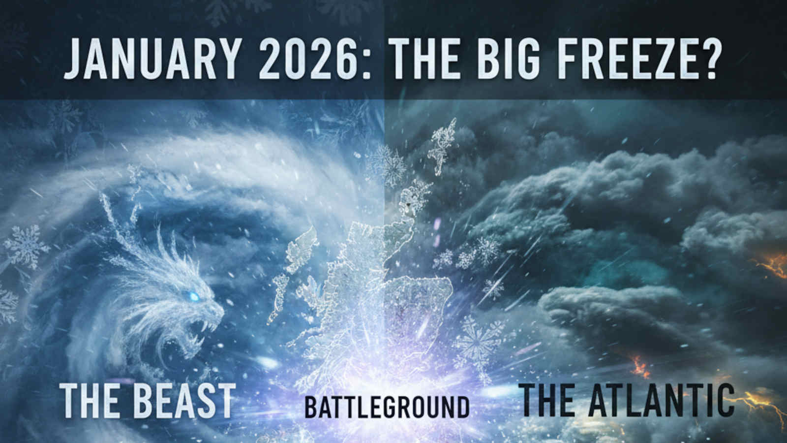
- The “Battleground”: We have relatively mild, moist Atlantic weather systems trying to push in from the West, while the deepening cold air mass from the East is attempting to dominate.
- The Snow Potential: Where these two air masses collide, there is a very real potential for significant snowfall. If the cold air wins, models show plumes of snow pushing across the UK.
- The “Dry Cold” Scenario: There’s also a scenario where the cold air truly dominates and blocks the Atlantic moisture entirely. This would result in piercingly cold temperatures and widespread severe frosts, but with less snow. Think crisp, clear, but bone-chilling conditions.
The exact timing and intensity of any snow will depend on the precise track of these air masses, making daily forecast updates crucial. Northern and eastern parts of the UK are generally at higher risk for initial snowfall, but if a strong cold front meets Atlantic moisture further south, even areas like London and the Midlands could see rapid, disruptive snow.
Separating Fact from Fear: Preparedness, Not Panic
While the situation warrants attention, it’s vital to maintain a calm, practical approach. This isn’t about fear-mongering; it’s about sensible preparedness, especially given the potential for disruptive weather.
1. Stocking the Pantry (Sensibly!):
Rather than panic buying, think about having a few extra essentials that you’ll use anyway.
- Non-perishables: Tinned goods, pasta, rice, long-life milk, and perhaps some extra bread (which can be frozen).
- Everyday items: Don’t forget pet food, baby supplies, or any regular medications.
- The “Eat What You Buy” Rule: If you don’t end up needing it for a snow-in, you’ll simply eat it later. This isn’t about hoarding; it’s about thoughtful forward planning.
2. Your Emergency “Grab Bag”:
This is a small bag with essentials you can quickly access if you lose power or need to leave your home unexpectedly. We have a detailed page on how to make your own Grab Bag.
- Essentials: A wind-up radio, a good quality torch with spare batteries (or a headlamp), a power bank for your phone, first-aid kit, any essential medicines, a warm hat and gloves, and some high-energy snacks.
- Important documents: Copies of IDs, insurance policies, and contact numbers for emergencies.
- Cash: A small amount of cash can be vital if electronic payment systems go down.
3. Prepare for Power Outages: The “Blackout Box”:
Heavy snow and ice are notorious for bringing down power lines. Being prepared for a power cut is a smart move.
- Our “How to Make a Blackout Box” post offers a detailed guide, but in essence, it’s about having a dedicated box with everything you need for light, warmth, and communication when the power goes out. Think blankets(we recommend the Silentnight Heat Genie self heating blanket), battery lanterns, and fully charged devices.
- Alternative heating/cooking: If you have a gas hob, remember you can still light it manually to boil water. A thermos full of hot water can be a lifesaver. Consider getting a gas camping cooker for warming food.
4. Check Your Car:
If you absolutely must travel, ensure your vehicle is winter ready. We have buildt a winter car guide to ensure you have everything you needed, packed in your boot and ready to go, but for now, the basics are:
- Fuel: Keep your tank at least half full.
- Tyres: Check pressure and tread.
- Emergency kit: Shovel, blanket, jump leads, de-icer, and a fully charged phone.
The Bottom Line
While the headlines might sound dramatic, the underlying science suggests a genuine increased risk of significant cold and possibly snow in late January and early February. This is a dynamic situation, and we’ll have more clarity in the coming days.
Instead of panicking, take this opportunity to calmly review your home preparedness. A little foresight now can save a lot of stress if the “Battle of the Air Masses” delivers a truly wintry punch. Stay warm, stay safe, and keep an eye on trusted meteorological updates. You can keep up to date with wet
📡 Find Us Everywhere
Daily briefings, prep guides, and real-time updates across every platform. Pick yours.
Free. No commitment. Stay anonymous on WhatsApp & Telegram.
Stay Informed on UK Preparedness
Join our newsletter for UK-specific preparedness tips, product recommendations, and real-world advice for households.
Subscribe to Our Newsletter